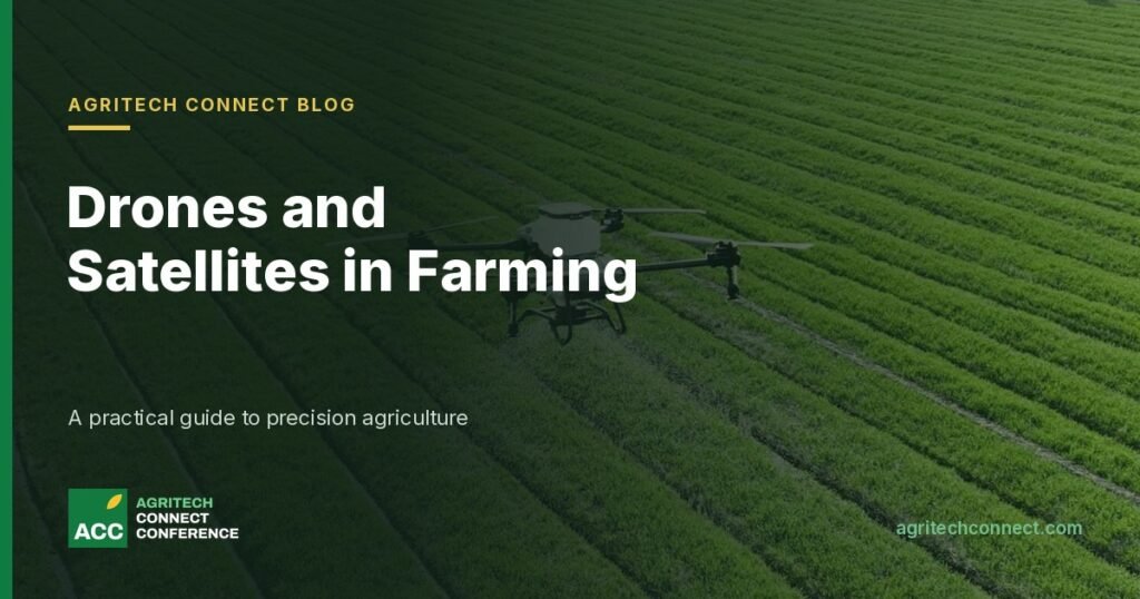
Precision agriculture is a simple idea: give each part of a field what it needs, when it needs it, instead of treating the whole farm the same. Drones and satellites have made that idea far cheaper to put into practice, and they are now used on farms from China to the United States, as well as in government projects and pilots in the UAE.
This guide explains what each tool does well, what the evidence says about the returns, how the UAE is using and regulating them, and what to ask before you buy a service. Figures are sourced and dated, and company and official claims are labelled as such.
What precision agriculture actually means
Every precision system does three things. It senses the crop or soil, it turns that data into a decision, and it acts on the decision, whether by irrigating one block and not another, spraying only the patches that need it or adjusting fertiliser across a field.
Satellites and drones mostly sit in the first step. They show where a crop is stressed, but not why. A pale patch could be water stress, disease, a blocked dripper or poor soil, and someone still has to walk out and check. The value comes from the whole chain, not the picture alone.
Satellites: the free view from above
The workhorse for farm monitoring is Europe’s Sentinel-2 mission. According to the European Space Agency, its satellites image a 290 km wide strip in 13 spectral bands, with 10-metre pixels for the visible and near-infrared bands, and the two-satellite constellation revisits each point every five days at the equator. A third satellite, Sentinel-2C, launched in September 2024. The data is provided free of charge to all users, commercial ones included, through the Copernicus Data Space Ecosystem.
Most crop-health maps are built on a vegetation index called NDVI (Normalised Difference Vegetation Index). Healthy leaves absorb visible light and reflect near-infrared light, so comparing the two shows how dense and green the canopy is. NASA explains that values run from -1 to +1: 0.1 and below indicates bare sand or rock, 0.2 to 0.3 shrubs and grassland, and 0.6 to 0.8 dense forest.
Satellites are well suited to the Gulf, where clear skies mean fewer cloudy images than in many farming regions. They are also useful for mapping at scale. Researchers working on Abu Dhabi plantations mapped date palms of different ages using Landsat-8 and sub-metre WorldView-2 imagery, reporting 94.5% overall accuracy (Issa et al., 2020).
The limits are just as real. A 10-metre pixel covers 100 square metres, which is too coarse to see individual plants, small plots or anything under a greenhouse roof. Five days between images is fine for tracking a season but too slow to catch a pest outbreak early. Higher-resolution commercial imagery exists, but it is paid for.
Drones: closer looks and targeted spraying
Drones do two quite different jobs, and it helps to keep them apart.
1. Scouting and mapping
Camera drones fly below the clouds and capture centimetre-scale detail on demand. That makes them useful for counting trees, spotting irrigation faults, checking crop stands and building farm maps. The trade-off is coverage: a drone can survey a farm in an afternoon, but not a region.
2. Spraying and spreading
This is where adoption has grown fastest. Researchers at Michigan State University, summarising a study published in Science, report that China has more than 250,000 agricultural drones in use, that drones were used on 30% of Thailand’s farmland in 2023, and that FAA-registered agricultural drones in the US rose from about 1,000 in January 2024 to around 5,500 by mid-2025 (Belton and Baldiga, October 2025). They note that comparable machines cost US$20,000 to US$30,000 in the US against under US$10,000 in China, and that most farmers hire a service provider rather than buy.
| Country | Agricultural drones in operation, 2024 |
|---|---|
| China | About 251,000 |
| Japan | 19,939 |
| Thailand | 15,038 |
| Brazil | 12,000 |
| India | About 7,000 registered |
How the UAE is using drones and satellites
Government has led much of the work in the Emirates. In 2019 the Ministry of Climate Change and Environment said it had used drones and artificial intelligence, benchmarked against satellite images, to map about 550 square kilometres of farmland in Dubai, Sharjah, Ajman and Umm Al Quwain, identifying 5,637 farms and 362 wells (MENA Herald). The stated aims included estimating irrigation water use and planning support services for farmers.
In Sharjah, the head of the emirate’s agriculture and livestock department said in October 2024 that the Mleiha wheat farms run a control centre with sensors, satellite thermal imaging and AI analysis, and that data-driven irrigation had cut water use by 40% (Gulf Agriculture). That is an official figure rather than an independent measurement.
In November 2025 Dubai Municipality and the UAE drone maker Eanan launched a pilot called DM Smart Eye, using a drone named Gaith that photographs trees, green spaces and farmland, uses AI to flag areas needing treatment, and carries a 40-litre tank to apply it (The National).
Regulation matters for anyone planning a drone service. As of January 2025, the General Civil Aviation Authority’s UAE Drones platform requires registration and a training certificate from an accredited centre, flights below 120 metres within visual line of sight and in daytime, and it sets stricter rules for commercial operators, including agricultural ones. Fines for flying an unregistered drone or without a permit range from Dh50,000 to Dh500,000 (Gulf News). Rules change, so check the current position with the regulator before you fly.
What the evidence says on returns
The evidence is encouraging but thinner than the marketing suggests. Reviewing studies from India, the India Forum authors report pesticide use down 25 to 40%, labour down 40 to 51% and paddy and wheat yields up 5 to 16% with drone spraying. They stress that these come mostly from controlled trials rather than ordinary farm use. Belton and Baldiga go further, describing reported yield gains as mostly anecdotal, from small studies or from industry reports.
Scale also matters. The US Department of Agriculture’s Economic Research Service (February 2023) found that at least half of larger row-crop farms use yield maps, soil maps, variable-rate technology or guidance systems, against fewer than a quarter of the smallest farms. Auto-steer use on US maize rose from 5.3% of planted area in 2001 to 58% in 2016. The pattern suggests these tools pay back most readily on large, uniform fields.
The trade-offs to be honest about
- A map is not a decision. Imagery shows where a crop differs, not why. Without agronomic advice and someone to act on it, the data goes unused.
- Resolution and timing must fit the crop. Free satellite data suits large open fields and palm groves. Greenhouses, small plots and fast-moving pests need closer, more frequent looks.
- Spraying from the air needs care. Belton and Baldiga note that misused drones can carry droplets onto neighbouring farms, waterways or people, while also cutting workers’ direct exposure compared with backpack sprayers.
- Labour shifts rather than disappears. Drones may displace manual spraying work while creating skilled jobs for pilots and data analysts.
- Service models beat ownership for most growers. Hiring a licensed operator avoids the cost of the machine, the training and the paperwork.
Questions to ask any drone or satellite service provider
- What resolution and how often, and is that enough to see the problem I care about on my crop?
- What do your maps tell me to do, and who checks the field before I act on them?
- Are you registered with the relevant aviation authority, and are your pilots certified for commercial and agricultural work?
- How do you control spray drift, and what are your limits on wind speed and flying height?
- What savings in water, inputs or labour have you measured on a working farm in this climate, over how many seasons?
- Who owns the data, and can I export it if I change provider?
Turning imagery into better decisions on water, inputs and labour is one of the practical questions running through the programme at Agritech Connect in Dubai on 6 October 2027. See the agenda, read how sensors and satellites fit into water-smart farming in the Gulf, or showcase your technology.